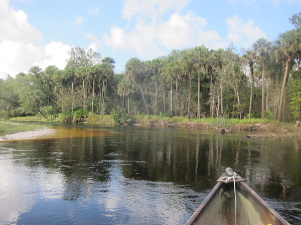
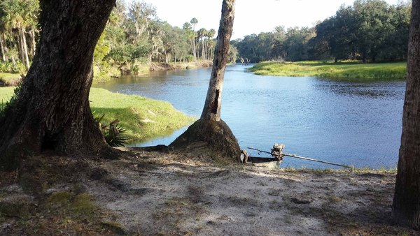
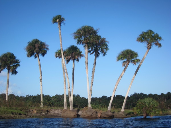
The Econlockhatchee River is located very near Orlando and is one of the last remaining unspoiled rivers in Central Florida.
The meaning of "Econlockhatchee River" is the river of mounds. The river stretches 54.5 miles/87.7 kilometers from its source at Lake Conlin in Osceola county, thru Orange county, ending at the St. John's River near the Rt 46 bridge in Seminole county. This blackwater river does have some good flow as it travels north from an elevation of 92 ft/28 m to its mouth with an elevation of 3 ft/.91 m. Prior to the 1970s, grazing and citrus groves were the dominant activities along the river. Since then, local and state governments have strived to protect the area and have succeeded to a large extent.
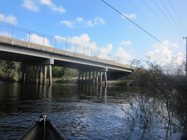
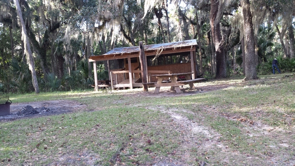
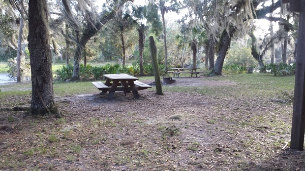
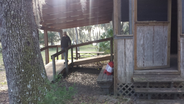
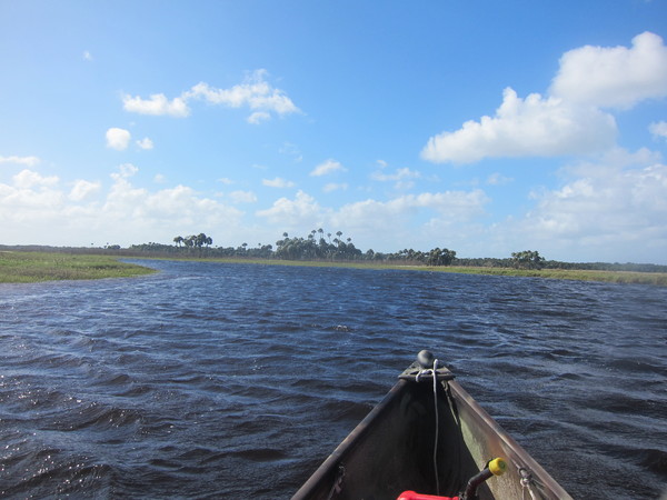
It is possible, especially when the river level is high, to kayak or canoe from Rt 50 (Orange county) to SR 419 in Oviedo (Seminole county) at the base of the 419 bridge, but our intent in this article is to describe the river from SR 419 bridge/portage to its mouth. It is 19 miles from SR 419 to the bridge at Rt 46.
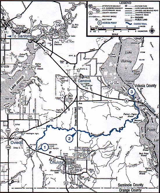
Below is a map of the area and canoe/kayak trail (in blue).